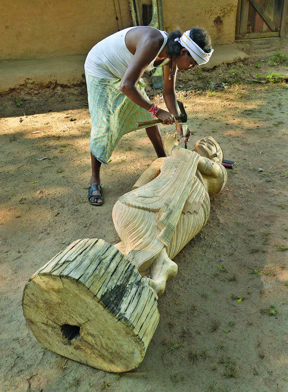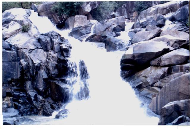
Kanker
Discover Kanker
Kanker District is located in the southern region of the state of Chhattisgarh, India within the latitudes 20.6-20.24 and longitudes 80.48-81.48. The total area of the district is 6432 square kilometers. The population is 748,941.
The district's headquarters, Kanker town, is situated on the National Highway 30 almost halfway between Chhattisgarh's two major cities - Raipur, the state capital, and Jagdalpur, the headquarters of the neighbouring Bastar district.
The history of Kanker begins in the Stone Age. According to the legendary Sanskrit epics of India, the Ramayana and the Mahabharata, there was once a dense forest area named Dandakaranya, in the region where Kanker is located. According to myth, Kanker was also a land of monks and sages. Many Rishis (monks/sages) such as Kank, Lomesh, Shringi, Angira were said to have lived here. The influence of Buddhism on the region started in the sixth century BC. The ancient history of Kanker records that it always remained an independent state.
In 106 AD, the Kanker state was under the rule of the Satvahana dynasty and the king was Satkarni, This fact is also described by Chinese visitor Whensaung. After Satvahana rule, the state was under the control of the Nags, Vakataks, Gupt, Nal and Chalukya dynasties. The Som dynasty was founded by the king Singh Raj, and this dynasty ruled the state from 1125 to 1344. After the downfall of the Som dynasty, Dharam Dev founded the Kandra dynasty which ruled the state up to 1385. After the downfall of the Kandra dynasty, the Chandra dynasty came. According to a myth, the first king of this dynasty was Veer Kanhar Dev. He ruled the state up to 1404. This dynasty ruled the state up to 1802.
The Kanker state came under the control of the Bhosales of Nagpur during the reign of Bhoop Dev from 1809 to 1818. During the kingship of Narhari Deb, the Kanker state came under control of the British from Maratha. Because the British government gave the adoption to Narhar Dev, he acknowledged fealty to the British. In 1882, the control of Kanker State was handed over to Commissioner Raipur.
The rule of Narhar Deo saw the construction of many buildings, including a palace near Gadiya Mountain, a printing press, a library, Radhakrishna Temple, Ramjanki Temple, Jagannath Temple and Balaji Temple. Narhar Deo made a plan termed 'Ratna Bhandar' for keeping grain in stock for his people. He established a new town named Narharpur near Kanker.
In 1904, Komal Dev became the king of Kanker. During his rule one English secondary school, one Girls school, and 15 primary Schools were established, as well as two hospitals: one in Kanker and the other in Sambalpur. He died on 8 January 1925. After his death, Bhanupratap Dev became the king. Bhanupratap Dev was the last king of Kanker before the Independence of India. After independence, he was elected twice as an MLA from Kanker constituency.