
Discover Surguja
Surguja district is a district of the Indian state of Chhattisgarh. The district is one of the oldest districts of Chhattisgarh. The headquarters of the district is Ambikapur.
The district lies in its eponymous Surguja dialectal region (where Surgujia is spoken) and is to the east of the Vindhyachal-Baghelkhand region of peninsular India.
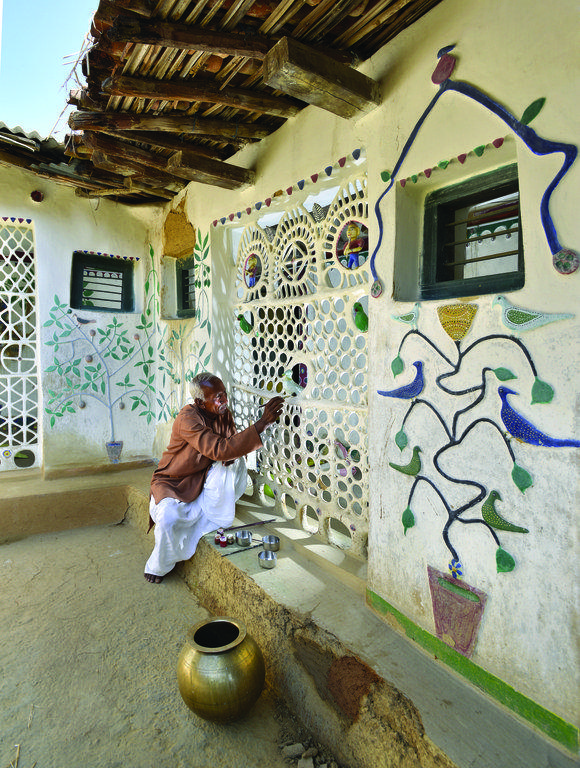
The district spread over a vast mountainous area inhabited by many different people groups such as the Gond, Bhumij, Oraon, Panika, Korwa, Bhuiya, Kharwar, Munda, Chero, Rajwar, Nagesia, Kanwar and Santal.
According to legend, Lord Rama had visited Surguja during his 14 years of exile into the forests. There are many places in connection to epic of Ramayana, which are named after Lord Rama, Laxmana and Goddess Sita such as Ramgarh, Sita-Bhengra and Laxmangarh.
Prior to the arrival of the Mauryas, the area was ruled by the Nandas. In the third century BC the region was divided into tiny kingdoms. In 1613, a Rajput king belonging to the Rakshal clan attacked from Palamu in what is now Jharkhand, and took control of the area. In 1753, the Marathas invaded Surguja and forced the king to become a vassal. After the Third Anglo-Maratha War in 1818, the British gained control of the three princely states of Surguja, Koriya and Changbhakar. In 1820, Amar Singh was crowned as Maharaja. During the British Raj period, Surguja State was a princely state.
In 1951, Surguja became part of the new state of Madhya Pradesh. In 2000, it was one of the districts in the new state of Chhattisgarh.
It lies between 23°37'25" to 24°6'17" north latitude and 81°34'40" to 84°4'40" east longitude. 244.62 kilometres (152.00 mi) long east to west and 67.37 kilometres (41.86 mi) broad north to south, this land has as area of about 5,732 square kilometres (2,213 sq mi).
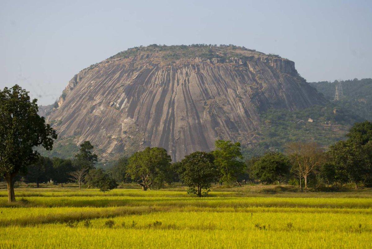
The high-lands of Surguja district have peculiar 'pat formations' – highlands with small tablelands. The Mainpat, the Jarang pat, the Jonka pat, the Jamira pat and the Lahsunpat are the major parts of the district. The average height of area is above 600 metres (2,000 ft). Some of the peaks are Mailan 1,226 metres (4,022 ft), Jam 1,166 metres (3,825 ft), Parta Gharsa 1,159 metres (3,802 ft), Kanda Dara 1,149 metres (3,770 ft), Chutai 1,131 metres (3,711 ft), and Karo 1,105 metres (3,625 ft). There are a number of other peaks. North–west Surguja is hilly in nature, and moving westwards, three distinct steps may be marked out: the first from Shrinagar on the east to the low-lands of Patna and Kharsawan, the second from thence to the uplands around Sonhat and the third beyond Sonhat to above a height of 1,033 metres (3,389 ft). Central Surguja is a low basin through which the Rihand and its tributaries flow.[2]
Red and yellow soils are derived from the parent rocks of the Gondwana System including sedimentary rocks. They are formed in-situ from the erosion of such rocks caused by rain. This soil is found particularly in east Sitapur, south Ambikapur, central Surajpur and Pratappur blocks. The red color is due to wide diffusion of iron while hydration of ferric oxide results in a yellow color in the soil. This soil is of lighter texture and has a porous and friable structure. Soluble salt is found in small quantities. Lime, kankar and free kankar are totally absent. These soils are poor in potash, nitrogen, humus and carbonate and differ greatly in consistency, color, depth and fertility. On the uplands they are thin and gravelly, sandy, porous and light coloured alluvium, generally transported from elsewhere, are found along river banks in alternate layers of sand and silt in East Ramanujganj, North Ambikapur, and Surajpur, along the river banks of the Rihand, Kanhar, and the Hasdeo rivers and their major tributaries. The colour of the soil is not uniform but varies from yellow to grey. Laterite soils are well developed on the summits of the plateau regions of Samri and Sitapur tehsil including Shankargargh, Kusmi, Sitapur, Batoli and Mainpat blocks of Mainpat, Jamirapat, Lahsunpat and Jonkpat.
How to Reach Here?
Road
From Raipur airport it is 380 kms by road.
Air
From Raipur airport it is 380 kms by road.
Railway
Mainpat is 178 kms from Raigarh which is a major station and the other smaller station is Ambikapur which is 80 kms away.